
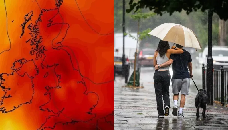
Tabloid headlines about UK weather maps "turning blood red" are a summer tradition at this point. But 2026 is different: for the first time since records began, Britain has now recorded temperatures of 35°C or higher in three consecutive months — May, June and July — making the alarming colours on forecast maps this week less hype than an accurate reflection of an unprecedented year.
According to the Met Office, this year has already produced eight days above 34°C, breaking the previous record held jointly by 1976 and 2020. Dr Amy Doherty, the Met Office's Science Manager, said the run of milestones this year has been remarkable, noting it is the first time the UK weather record has seen 35°C or higher across three separate months in a single year.
A summer of back-to-back heatwaves
This is Britain's third distinct heatwave of 2026, and the pattern has been building since spring. A record-breaking spell in late May pushed temperatures to 35.1°C at Kew Gardens and brought the country's first "tropical night" of the year — when temperatures never drop below 20°C — with at least 15 deaths linked to water-related incidents during that period alone. June brought a longer, more humid spell that the Met Office described as one of the UK's longest-lasting heatwaves since 1976. The current July event, driven by high pressure from the Azores High, has been less humid than June's but still pushed the south and east of England into the low-to-mid 30s, prompting UK Health Security Agency amber heat health alerts across London and the south.
Why the maps look the way they do
The visual shock of bright red heat maps isn't manipulation — it reflects genuinely new territory for UK temperature records. Meteorologists have previously had to explain, after past heatwaves, that dark red shading on official charts corresponds directly to how far temperatures sit above historical norms, not an exaggerated colour choice. When a country accustomed to mild, temperate summers starts registering 34°C-plus days for a record eighth time in one year, the maps are simply catching up to the data.
What's driving it, and what to expect next
Scientists point to the broader pattern of climate change as the underlying driver of the increasing frequency and intensity of these events, consistent with warming trends observed across the UK's climate record in recent decades. For readers outside Britain, the relevance goes beyond a single country's weather: this kind of repeated, escalating heat pattern is now showing up across multiple regions in the same summer, reinforcing warnings that extreme heat is shifting from a rare event to a recurring seasonal feature — with real consequences for public health systems, infrastructure, and emergency planning, not just for the UK, but as a preview of what other countries with similar climates may increasingly face.
For now, forecasters advise checking Met Office updates directly rather than relying on any single week's forecast, since conditions in prolonged heat patterns like this one can shift quickly.